Welcome to GeoContext!
GeoContext is a service that will fetch data for a geographic position. It is an API that you can use to integrate this information into your own web site.
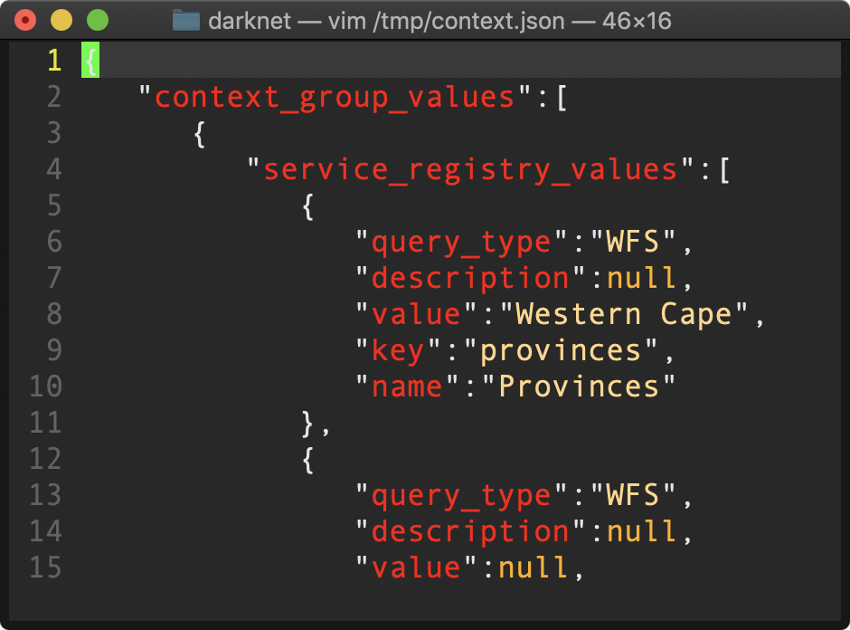
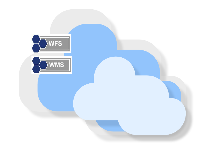
GeoContext can connect to various different types of services such as WMS and WFS to collate the point information. You can configure more services as needed and collate a number of services into a group. A number of groups can be combined into a collection.
The API returns JSON documents which enumerate any information found for the point you specify. Currently, the service is free to use and the code is open-source!